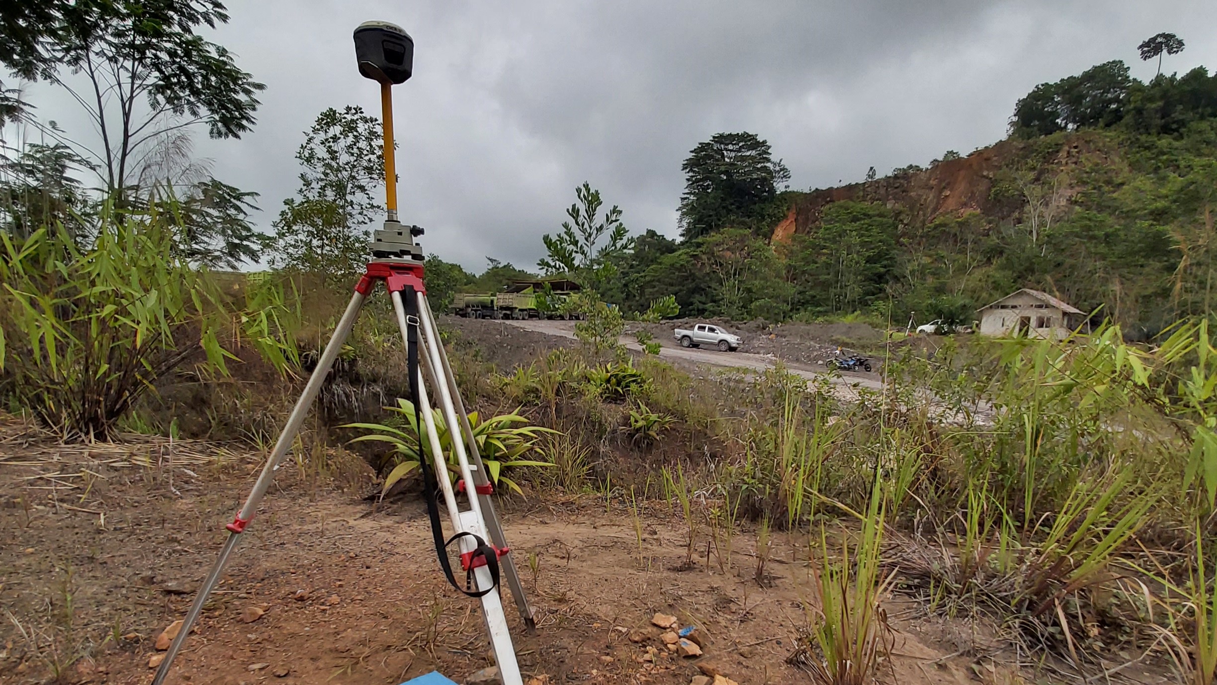
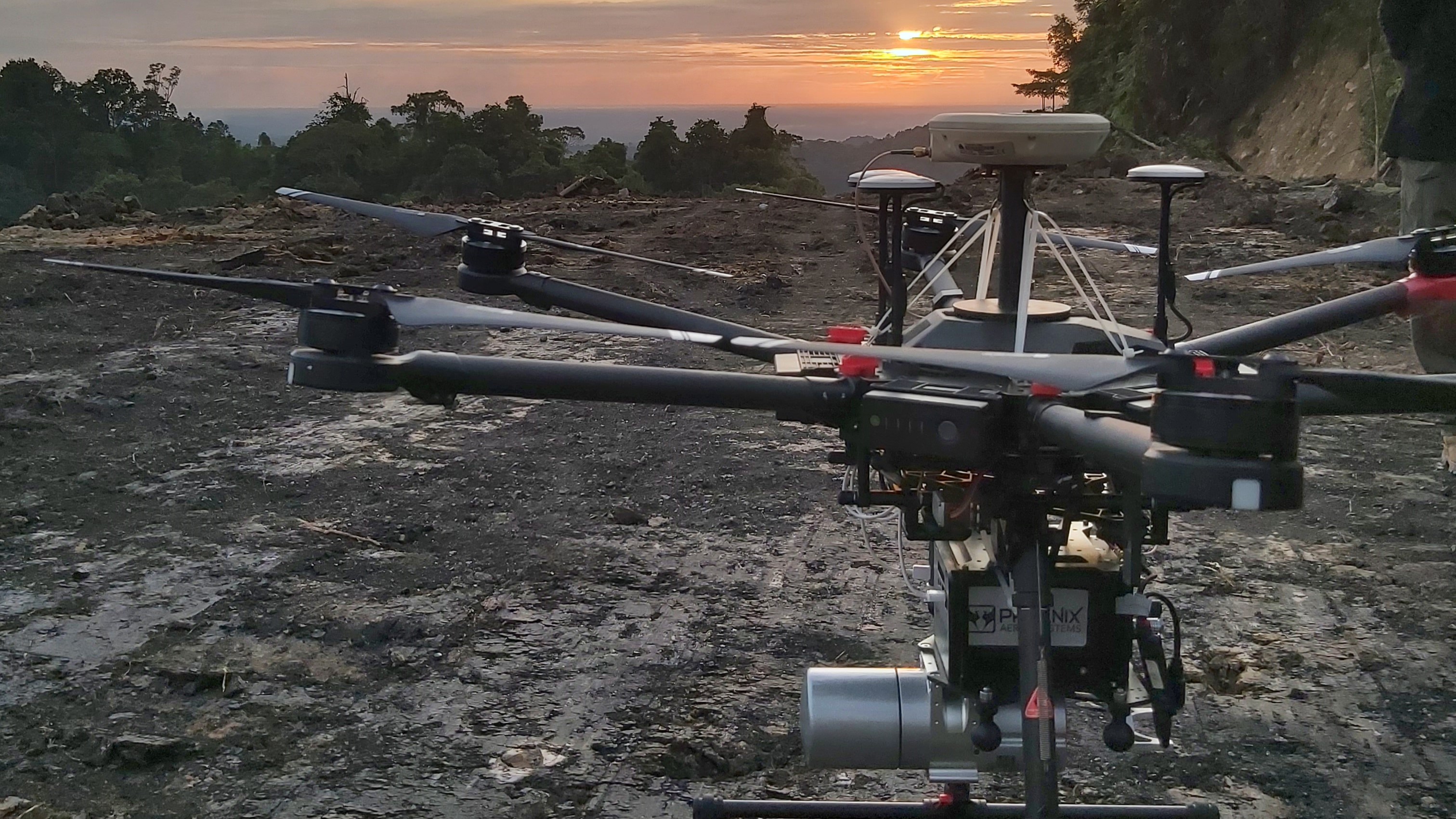
TOP Aerial was established in 2016, introducing UAV LiDAR technology to provide high-accuracy topographic maps in Indonesia. TOP Aerial has since, and continues to, provide comprehensive UAV LiDAR mapping solutions, offering better quality topographic maps delivered quickly and safely no matter the location and terrain.


